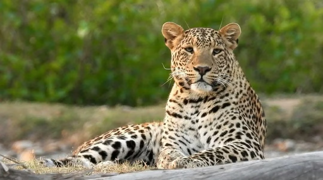
Rajaji National Park sits in the foothills of the Shivalik range in Uttarakhand, spread across three districts rather than sitting on the edge of a single city. That one fact explains most of the planning questions that follow: why the park is approached from Dehradun, Haridwar or Rishikesh, why different safari zones report to different gates, and why the phrase "near the park" can mean several different things on a map.
This article is about geography only: which districts contain the park, how big the protected area is, which cities lie around it and which transport hubs are nearest. For actual routes, road directions and transfer planning, use our how to reach Rajaji guide instead.
Which districts is Rajaji National Park in?
The official Rajaji Tiger Reserve about page describes the park as located in the Dehradun, Haridwar and Pauri Garhwal districts of Uttarakhand. Three districts, one connected forest landscape, several different approaches.
That distribution matters practically. The Chilla zone page places Chilla in Pauri Garhwal district near Haridwar, while the Ramgarh entry is described through Asharodi on the Dehradun side and the Chillawali entry sits at Mohand on the Dehradun-Saharanpur highway. A visitor staying in Haridwar and a visitor staying in Dehradun are not making the same journey, even though both are "going to Rajaji".
It also matters for maps. A pin dropped in the middle of the reserve does not represent a gate, a ticket counter or a road you can drive. Always locate the specific entry named on your permit rather than the park as a whole. Our safari gates guide lists where each zone entry sits.
National park area versus tiger reserve area
Two figures appear in official material and they describe different things:
- National park: 820.42 square kilometres, as stated on the official about page.
- Rajaji Tiger Reserve: described as about 1,075 square kilometres when buffer areas are included.
The national park figure is the smaller, core protected area. The tiger reserve figure is the larger administrative landscape that includes buffer zones around it. Using 1,075 square kilometres as the "park size" overstates the national park, and quoting 820.42 square kilometres as the tiger reserve understates it. Keep the two labels attached to the correct numbers.
For a fuller explanation of how the national park, tiger reserve and buffer relate, read Rajaji National Park versus Rajaji Tiger Reserve.
The Shivalik foothills setting
The official description places Rajaji in the Shivalik foothills, the first outer range of the Himalayan system where the mountains begin to settle into the plains. This produces the terrain visitors actually experience: river channels and grassbeds at the lower edge, sal and mixed woodland on the slopes, and rising hill country behind.
The gradient explains why the park feels different from a flat sanctuary. Water collects along the river corridors, forest types change with elevation, and the road network follows the easier ground. Our history and geography guide covers the landscape in more depth, while the map and ranges guide explains how the ranges fit together.
Cities near Rajaji National Park
The official pages describe the park as near Dehradun, Haridwar and Rishikesh. Each city relates to the park differently:
Haridwar
Haridwar is the reference city for the Chilla entry in Pauri Garhwal and for the Haridwar zone around Ranipur. Visitors staying in Haridwar plan the day around whichever gate on that side is named on their permit.
Dehradun
Dehradun is the state capital and the reference city for several other entries, including the Motichur gate on the Dehradun-Haridwar highway, the Ramgarh entry through Asharodi and the Mohand turn-off on the Dehradun-Saharanpur highway. The official contact page also places the reserve's safari booking office in Dehradun at 5/1 Ansari Marg.
Rishikesh
Rishikesh lies close to the park and is a common base for travellers combining the forest with time in the town. It is also a gateway toward the upper foothills, which is why many itineraries pair the two. See our safari and Rishikesh combination guide for how the two are sequenced.
None of these cities is "inside" the park. Accommodation in a city is a base, and the gate named on the permit decides the actual morning drive.
Nearest rail hubs and airport
The official information identifies the nearest major rail hubs as Haridwar, Rishikesh and Dehradun, and the nearest airport as Jolly Grant Airport. That combination covers most arrival patterns: a train to one of the three stations, or a flight to Jolly Grant followed by a road transfer.
Two points keep this simple. First, the useful station is the one closest to the zone you actually booked, not automatically the busiest one. Second, the airport transfer and the gate transfer are separate legs, and the gate leg is the one with a fixed entry window. Our rail arrival guide and the how to reach page cover routes; this article deliberately stops at the geography.
How location shapes a safari plan
Geography feeds directly into three decisions:
- Base city: choose the city that sits on the same side of the landscape as your booked zone.
- Zone selection: the zone offered in the official calendar has its own gate, so check the gate before paying.
- Reporting buffer: allow for the transfer from your base to the specific entry, then follow the official advice to reach the gate 20 minutes before the last entry timing.
If the zone or gate is unclear, read the which gate should I report to guide and the gate facilities guide before confirming anything.
What location does not decide
No position on the map guarantees a wildlife sighting. The reserve describes itself as a forest and not a zoo, and animals move across the landscape freely. A gate closer to a river bend is not a promise of an elephant, and a longer drive is not a promise of a tiger.
Location also does not decide availability. Dates, zones and shifts are controlled by the official booking calendar, not by geography. Check the official day visit booking page for what can actually be selected.
Location questions answered
In which districts is Rajaji National Park located?
The park lies in the Dehradun, Haridwar and Pauri Garhwal districts of Uttarakhand, according to the official reserve about page. Because it spans three districts, the correct starting point for planning is the zone and gate on your permit rather than a single city name.
Is Rajaji National Park the same size as Rajaji Tiger Reserve?
No. The national park covers 820.42 square kilometres, while the tiger reserve is described as about 1,075 square kilometres including buffer areas. Keep the two figures separate in any plan or article.
Which cities are closest to Rajaji National Park?
Dehradun, Haridwar and Rishikesh are the cities the official pages describe as near the park. Your best base follows the gate: Haridwar for the Haridwar-side entries, Dehradun for the Dehradun-side entries, and Rishikesh as a convenient nearby stop on either pattern.
Which airport is nearest to Rajaji National Park?
Jolly Grant Airport is given as the nearest airport in the official information. Plan the airport transfer and the separate gate transfer together, because only the second one has a fixed reporting window.
Which railway stations are most useful for reaching Rajaji National Park?
Haridwar, Rishikesh and Dehradun are the nearest major rail hubs. Pick the station that shortens the drive to your booked gate, then confirm timings on the official booking page rather than assuming a same-day connection will work.
For the wider layout, read the park map and ranges guide. For entry points, read where each zone gate is located.